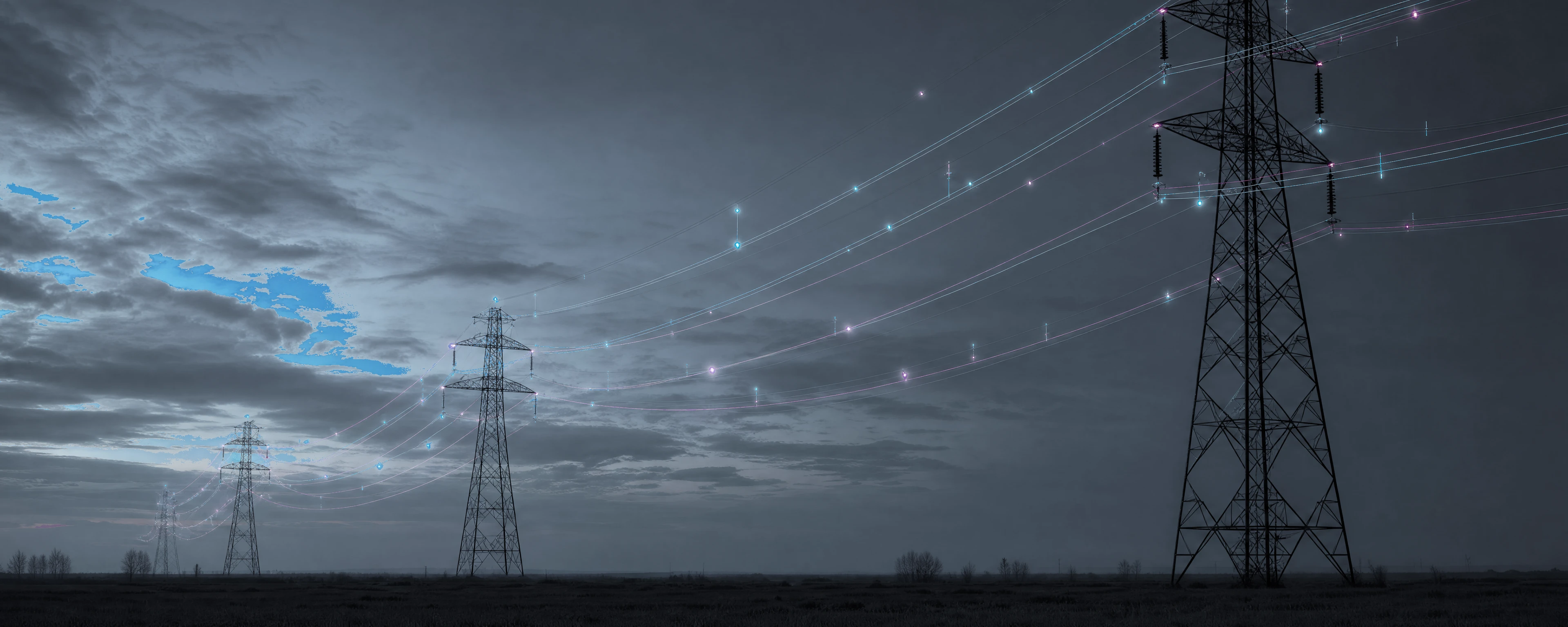
Weather & field data
Hyperlocal weather, LiDAR and imagery, and field-sensor data where it's installed: the environmental context that drives thermal and mechanical behaviour.
GridSight® is Enline’s multiphysics digital twin, that combines mathematical models, hyperlocal weather data, and the standardized asset information utilities already have, to deliver grid intelligence faster and at a fraction of the cost of conventional solutions.
Fragmented inputs in.
One calibrated model out.
GridSight® combines physics-based modelling and AI to understand how the network behaves in real-world conditions. It brings together hyper-local weather, satellite and drone imagery, SCADA data, and existing asset records to deliver forecasts and actionable insights.
Hyperlocal weather, LiDAR and imagery, and field-sensor data where it's installed: the environmental context that drives thermal and mechanical behaviour.
SCADA, AMI and GIS records, plus the historical operating data every utility already has: the electrical and topological backbone of the model.
A real-time, physics-based model of every span, tower and bus, continuously calibrated, and shared across every module.
The twin feeds operator-ready outputs (dashboards, a 3-D viewer, maps and alerts), turning raw inputs into decisions across every operating horizon.
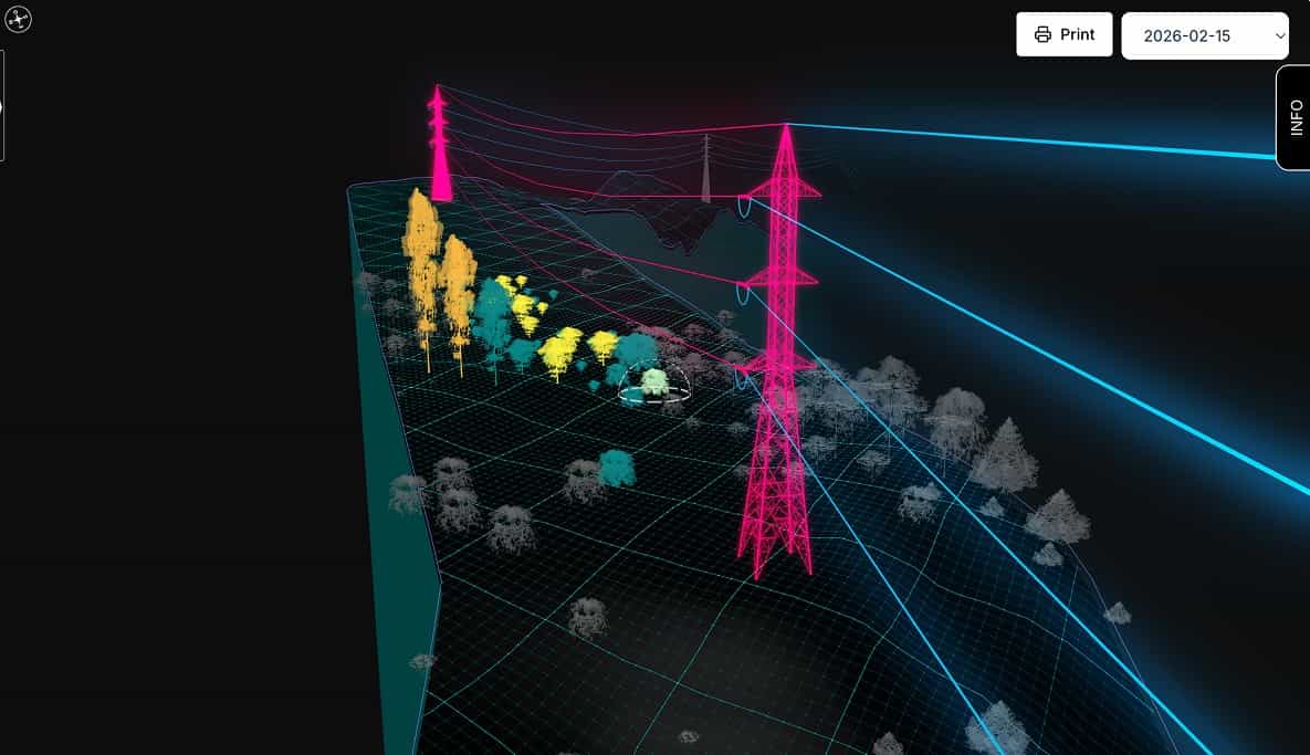
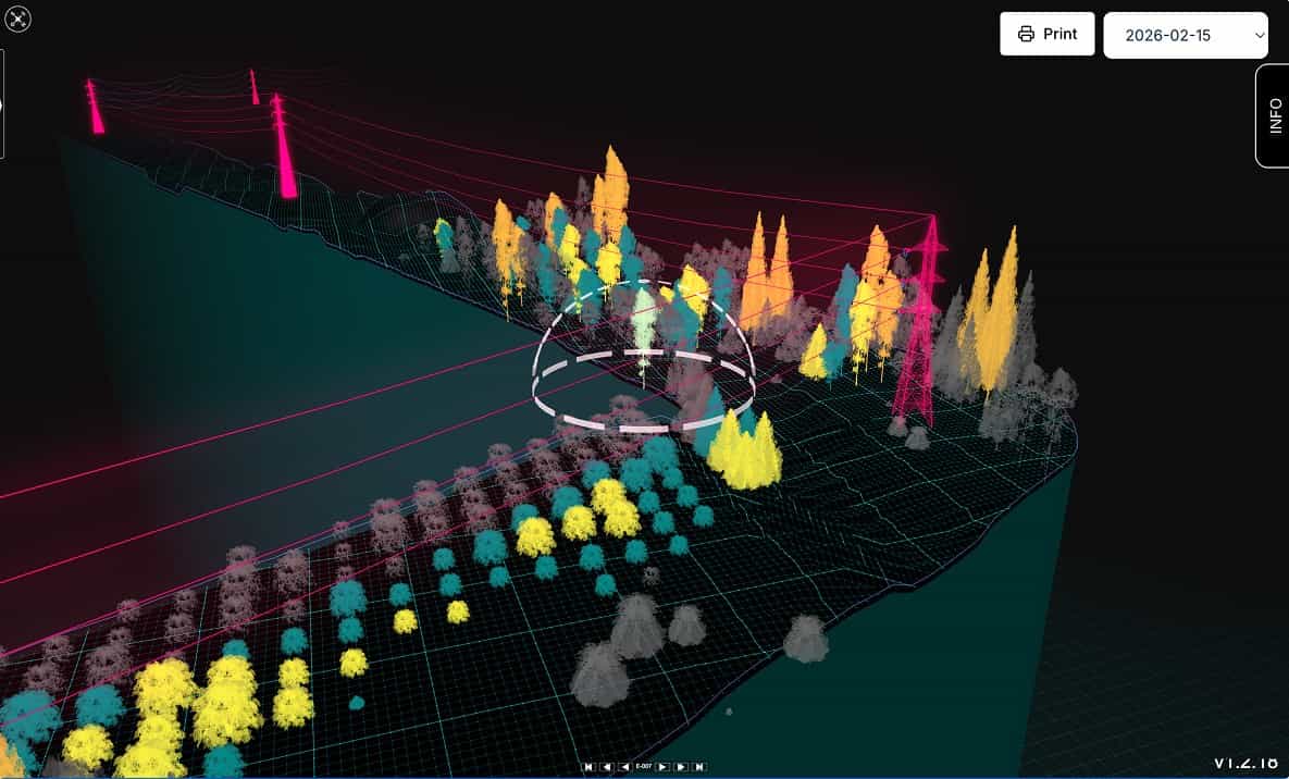
A suite of applications in one unified platform.
GridSight® brings advanced capabilities together in one platform. Its interconnected modules share the same data and digital twin, giving utilities a complete view of the network and enabling better, more informed decisions.
As a unifying integration layer, GridSight® connects data from multiple sources and electrical protocols, making it deployable globally and compatible with utilities’ existing systems.
Suite of Modules: